
Fleet management systems offer hundreds of features, yet most companies use a small share of them every day. Which ones matter most? We looked at how dispatchers and transport managers use FiOS across more than 10,000 connected vehicles. Five features stand out.
The five
- Real-time tracking
- Notifications
- Geofences
- Track history
- Location sharing
1. Real-time tracking
Every FiOS user tracks vehicles live. There are three ways to do it.
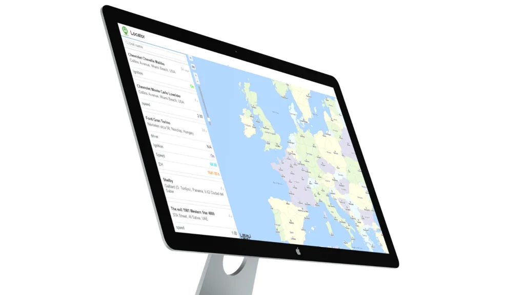
The vehicle list
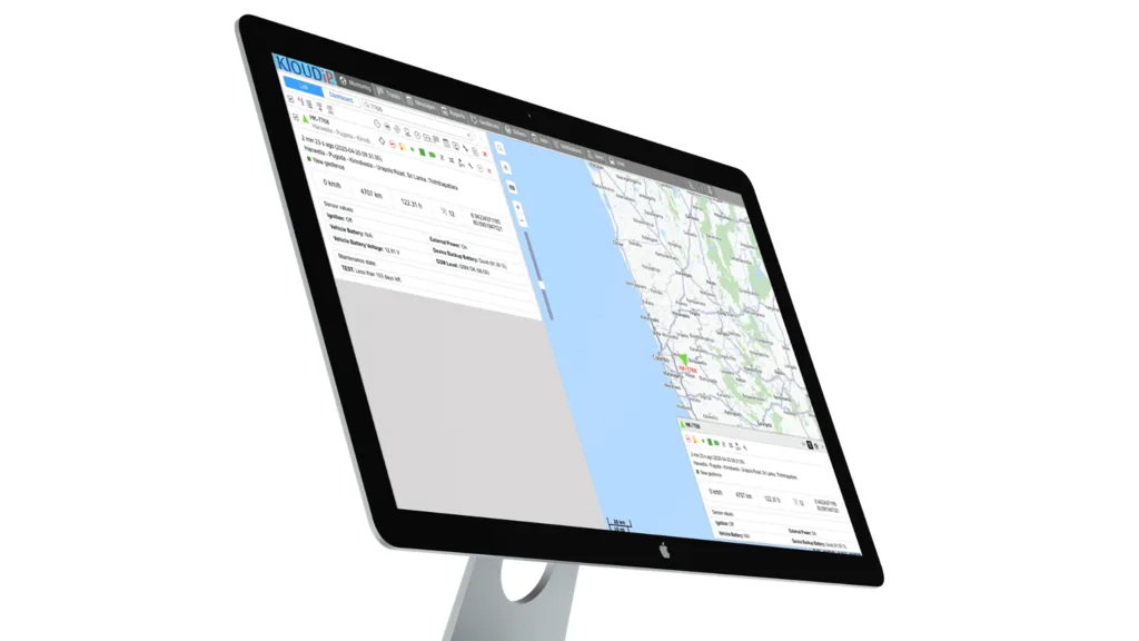
Live vehicle list in FiOS
The list shows every vehicle with live details, so you often do not need the map at all:
- Location: coordinates and address.
- Motion: moving or stopped, engine on or off. Spot engines running during long rests and save fuel.
- Driver: name and phone number.
- Trailer: which trailer is attached and what it carries.
- Accuracy: how many satellites see the vehicle.
- Connection: if a tracker stops reporting it may be faulty, disconnected or tampered with. Call the driver straight away.
- Sensors: fuel level, seat belt, cargo temperature and more, with colours that change when something needs attention.
- Battery: for battery-powered trackers, a warning before they run flat.
The map
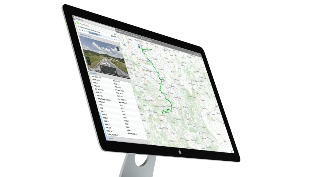
See every vehicle moving on the map among roads, buildings and your own places of interest. Find any vehicle in seconds from the list or the search box, and zoom from one street to the whole country. FiOS works with OpenStreetMap and Google Maps.
2. Notifications
Notifications let you track without watching the map. Speeding, theft, entering an area, a freezer warming up: FiOS tells you as it happens, by pop-up, email, mobile app notification or SMS. With the FiOS app on your phone, you know what is happening wherever you are.
3. Geofences
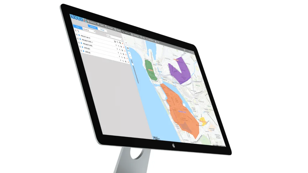
Geofences in FiOS
Geofences are areas you draw on the map to watch vehicles entering, leaving or staying inside. Common uses:
- Construction sites: make sure expensive machinery stays on site.
- Delivery zones: keep couriers inside their districts.
- Customer sites: confirm sales and service visits automatically.
- Roads: set speed limits on particular stretches.
- Warehouses: measure loading time.
There are three shapes: circles for points such as offices and bus stops, polygons for sites, districts and car parks, and lines for roads and routes, to catch speeding or route deviations.
4. Track history
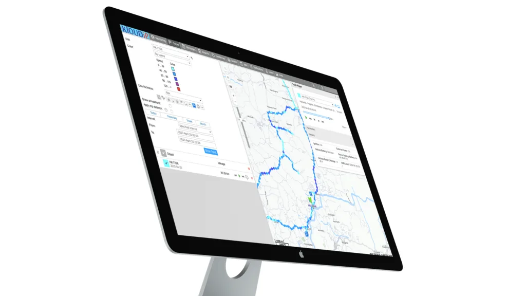
Vehicle tracks
A track is a line on the map showing where a vehicle went in a chosen period. Pick a sales car and 9 am to 5 pm: one driver made a single trip to a restaurant instead of ten customer visits; another drove all over the city for one meeting. The facts speak for themselves.
- Add markers for stops, parking, refuels, fuel drops and speeding.
- Colour the track by speed or sensor state, so the stretch where a driver hit 90 km/h in a 55 zone, or drove unbelted, stands out.
- Use the track player to replay a journey like a video.
FiOS keeps one year of history as standard.
5. Location sharing
Location sharing
Share a vehicle's live location with anyone, even people without a FiOS login, through a simple link:
- Customers follow their courier and know when to expect delivery.
- Employees wait inside until their corporate ride is close.
- Parents see the school bus on its way.
Links can be scheduled to start at a set time, such as when the school bus leaves at 8 am, and to expire after a set time, such as 35 minutes for a 30-minute delivery.
Watch the tips
Frequently asked questions
What is the most important GPS tracking feature?
Real-time tracking: every FiOS user relies on it. Notifications come next, because they save you from watching the screen.
What is a geofence?
An area or line you draw on the map. The system alerts you when vehicles enter, leave or break rules inside it.
How long is tracking history kept?
FiOS keeps one year of history as standard. TRAZET keeps 90 days as standard, with one year available as an option.
Talk to us
Want to see these features on your own vehicles? Ask us for a demo. Contact KLOUDIP
First published on KLOUD LIVE in March 2021. Updated and revised in November 2026.